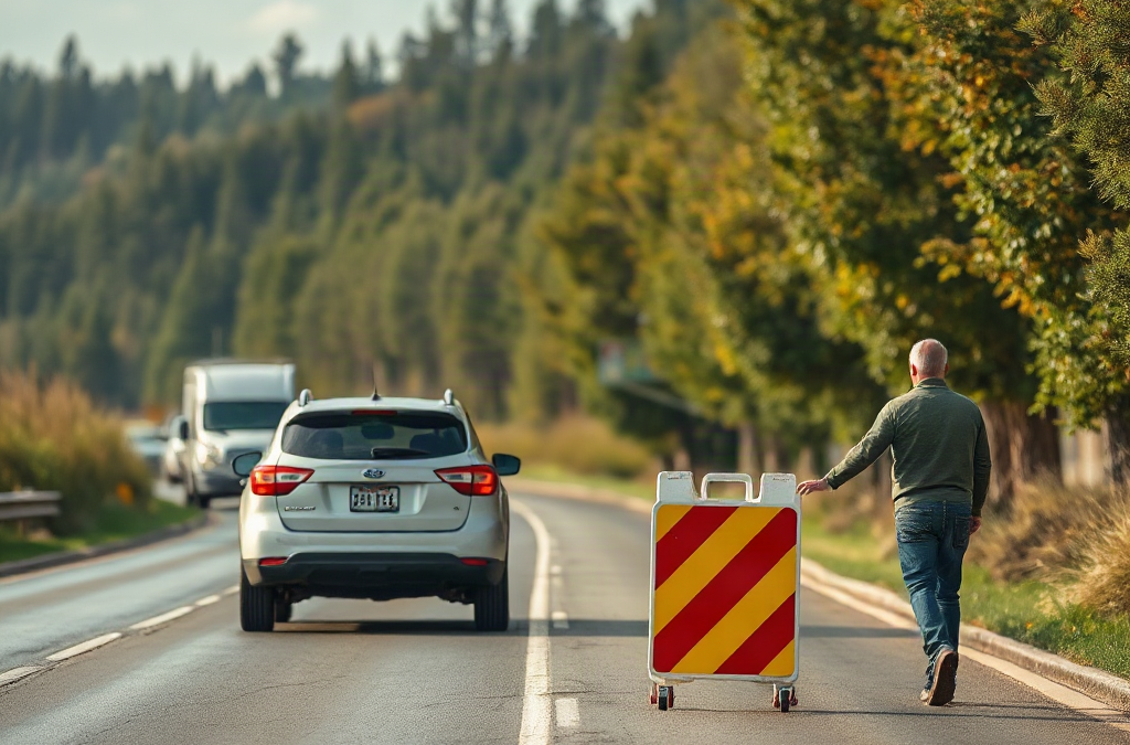
A contingency plan for a failed evacuation route should shift travelers to a pre-checked alternate route, a defined fallback location, and a reliable communication method as soon as blockage, fire, flooding, violence, or official closure makes the primary path unsafe. Mark at least two alternatives, identify turnarounds and fuel limitations, and decide who has authority to change direction. Printed maps matter when cellular networks fail, while local alerts and emergency broadcasts can confirm closures. Do not wait at a blocked entrance to see whether conditions improve; reverse only if it is safe and move toward the next designated decision point. Rehearsing these choices reduces hesitation and prevents separate household members from scattering.
Define Failure Before Leaving
A route has failed when it no longer provides a reasonably safe and usable path to the intended destination. A fallen tree, bridge closure, rising water, wildfire smoke, collision, police activity, gridlocked traffic, or loss of road access can all turn a familiar route into a trap. The plan should describe these conditions in plain language rather than relying on a vague instruction to “find another way.”
Separate route failure from ordinary delay. A slow road may still be usable if vehicles can move, fuel is available, and emergency access remains open. A blocked road, rapidly changing hazard, or official direction to leave the area requires a different response. Waiting beside a closure can expose people to smoke, floodwater, falling debris, or traffic moving unpredictably. The first decision should be whether to turn around, use the nearest signed detour, shelter temporarily, or proceed to a different destination.
Write down the assumptions behind the decision. Can every vehicle turn around? Is the route suitable for a trailer, wheelchair, or vehicle with limited fuel? Does the destination remain safe if the hazard expands? A route that works for a small car may be unsuitable for a large vehicle or a person needing accessible facilities. A family may also need separate arrangements for pets, children, medication, or mobility equipment.
Use a simple hierarchy: life safety first, official instructions second, route convenience third. Do not choose a shorter road that crosses moving water or enters a visibly affected area merely because it avoids congestion. The Contingency plan for a failed evacuation route should name a primary destination, at least one nearer fallback, and a condition that makes each option unsuitable.

Build Alternate Routes That Work
An alternate route is useful only if it has been checked against the same hazard that defeated the primary route. Map two or three options from important starting points, not just from the home. Include a route from work, school, or a regular medical appointment if household members may evacuate separately. Mark major junctions, bridges, dead-end roads, fuel stations, public facilities, and places where a vehicle can safely turn around.
Do not assume that a minor road is automatically safer. Narrow roads may become impassable when residents leave at once, and rural routes may have limited lighting, fuel, shoulders, or reception. A route through a low area may be a poor substitute during flooding; a wooded shortcut may be unsuitable during wildfire conditions; and a road near the original hazard may become blocked without warning. Compare alternatives by hazard exposure, road width, traffic direction, fuel demand, and the ability to reverse course.
A practical route record can fit on one printed page. For each option, note the starting point, first turn, major decision points, destination, known restrictions, and the reason it may fail. Keep a paper map with the marked routes in each vehicle because a phone may lose power, data service, or accurate location information. Digital maps remain useful for traffic and closures, but they should support—not replace—local knowledge and official messages.
Consider a household leaving during a fast-moving fire. The primary route is closed at a junction, while the navigation app continues to display it because the closure has not reached the mapping service. A preselected secondary road may still be open, but only if it leads away from the smoke and does not depend on the same downstream bridge. If both routes converge later, they are not truly independent alternatives. That shared point is a failure dependency and should be treated as another decision point.
Test the route at the time and with the equipment likely to be used. A daylight drive may not reveal poor visibility, school-zone congestion, steep grades, or a gate that is closed overnight. Testing does not guarantee availability, so record conditions rather than treating the route as permanent. Update the map after construction, seasonal closures, or changes to household vehicles.
Set Triggers, Decision Points, and Communications
Clear triggers prevent indecision at the moment the primary route becomes unusable. A trigger might be an official closure, water reaching the roadway, visible smoke reducing safe visibility, emergency personnel directing traffic elsewhere, or a complete standstill at a known choke point. The trigger should identify the next action: take Route B, move to a nearby holding location, or abandon the destination and use Route C.
Give every traveler the same decision points. For example, the instruction might be: “If Junction Oak is closed, do not continue toward the bridge; turn toward the library and reassess at the marked intersection.” A named landmark is easier to recognize than a street number, especially in darkness or stress. Decide in advance who can change the plan. A driver must be able to respond to immediate danger, while a designated contact can help coordinate people who are traveling separately.
Communication should work through several channels. Use local emergency alerts, official websites or radio broadcasts, and direct calls or text messages when networks function. A short message is more useful than a long explanation: state the person’s location, route status, next destination, and whether assistance is needed. Establish a check-in schedule only when it does not distract the driver. Never require someone to keep calling while operating a vehicle.
Choose a meeting arrangement that does not depend on one exact road. A primary meeting point can be paired with a secondary point in another direction. If family members cannot reach either location, they should know which out-of-area contact will receive updates. The contact should not make tactical decisions without current information; their role is to relay messages and reduce conflicting reports.
Common communication failures come from assumptions: everyone has a charged phone, everyone knows the destination, or a message sent means it was received. Keep a car charger or battery pack where it can be reached safely, but do not depend on electronics alone. A printed contact card, paper map, and written route codes provide a low-technology fallback. Reassess the plan when official instructions conflict with a household preference; official evacuation directions take priority over a privately chosen shortcut.
Practice the Plan Under Real Constraints
Practice should test decisions, not merely prove that someone can recite street names. Run a tabletop scenario in which the primary exit is blocked, then ask each person what they would do, where they would turn, and how they would report their status. Follow with a short drive on the alternate route when conditions are safe. The exercise may reveal that a child cannot identify the meeting place, a pet carrier is inaccessible, or the printed map is stored in a locked compartment.
Assign practical roles without making the system dependent on one person. One adult may drive, another may check official information, and an older child may carry the contact card. Anyone traveling alone needs a simpler version: route cards, a fallback destination, and a clear rule for stopping safely before making a call. People with mobility limitations may need additional time, an accessible vehicle, or a route that avoids stairs and uneven surfaces. Pets require carriers, leashes, and destination confirmation because not every shelter or lodging option accepts animals.
A compact pre-departure check should confirm:
- phones, chargers, identification, medication, and essential mobility items;
- fuel level, tire condition, lights, and room for all passengers;
- paper maps with primary and alternate routes marked;
- pet restraints, child seats, water, and weather-appropriate clothing;
- the current destination, meeting point, and communication contact.
The checklist is not a substitute for judgment. If smoke is thickening, floodwater is moving across the road, or officials are redirecting traffic, abandon the exercise’s planned sequence and follow immediate safety instructions. A route is failing when progress requires risky improvisation, repeated reversals, or entry into a visibly worsening hazard. That is a sign to use the next fallback, not to preserve the original itinerary.
Review the plan after every drill or real evacuation. Record where the route became confusing, which messages arrived late, and whether the destination had capacity. A shorter route is not necessarily a better route if it lacks room to turn around or shares the same vulnerable bridge. The best revision may be less convenient but more robust: an earlier departure trigger, a farther meeting point, or a destination outside the original hazard zone.
For route-specific decisions, consult local emergency-management offices, transportation departments, fire agencies, and official alert systems. Their closure notices and evacuation instructions are more reliable than crowdsourced map comments during a fast-changing incident.
Frequently Asked Questions
How many alternate evacuation routes should a household have?
Identify at least two alternatives when geography allows, then check whether they share bridges, tunnels, low points, or the same final junction. Shared dependencies reduce the value of having several lines on a map.
When should someone abandon the primary evacuation route?
Change course when officials close it, the hazard reaches the roadway, visibility becomes unsafe, traffic cannot move, or continuing would require entering a restricted area. Do not wait beside a confirmed blockage for conditions to improve.
Are phone navigation apps enough for evacuation planning?
No. Apps can lack current closure data or fail when power and networks are limited. Pair them with a paper map, predriven routes, official alerts, and written decision points.
What should a family do if members are separated when a route fails?
Use the agreed destination hierarchy and send brief status messages when safe. A designated out-of-area contact can relay information, while each traveler follows the route and meeting rules rather than chasing uncertain updates.
How often should an evacuation contingency plan be reviewed?
Review it after route construction, household changes, vehicle changes, seasonal hazards, or any drill. A short annual drive and tabletop exercise can expose assumptions that a written plan hides.
Conclusion
A failed evacuation route demands a prepared decision, not improvised navigation at a dangerous roadblock. Build alternatives that do not share the same vulnerable crossing, mark recognizable decision points, and pair digital information with paper maps and written contacts. Set clear triggers for changing direction, but leave room to follow official instructions when conditions move faster than the plan. Test the routes with the actual vehicles, passengers, pets, and accessibility needs involved. Afterward, correct confusing turns, weak communications, and destinations that cannot accommodate the group. The next practical step is to mark one primary route and two independent fallbacks, then explain the sequence to everyone who may have to travel without the household’s usual coordinator.
Related Content
- Simple Emergency Prep: Essential Steps for Effective Readiness
- Prepping Your Family for Emergencies: Essential Supplies and Strategies
- Preparing Your Boat for Survival Situations
- The Ultimate Guide to Winter Survival Preparedness: 10 Effective Tips for 2025
- The Challenges of Prepping in Urban Environments: Essential Considerations for Effective Strategies